Field chapter 01 / Alpine crossings
Across Europe's High Gates
Brenner Pass and Great St Bernard Pass show why the most consequential crossing is not always the highest—or the most spectacular.
A corridor and a place of refuge
Brenner Pass, between Austria and Italy, sits at roughly 1,370 metres. Great St Bernard Pass, between Switzerland and Italy, rises to about 2,469 metres. That difference helps explain their contrasting roles, but elevation alone never determined a route’s importance. Approaches, river valleys, political control and the possibility of shelter mattered just as much.
The Brenner connected the Inn valley with routes south through the Wipptal toward the Adige basin. Great St Bernard linked the Valais with the Aosta Valley. Both crossings belonged to larger systems: travellers needed settlements, supplies and onward roads, not simply a way over a ridge. Read them as connected landscapes rather than isolated summit destinations.
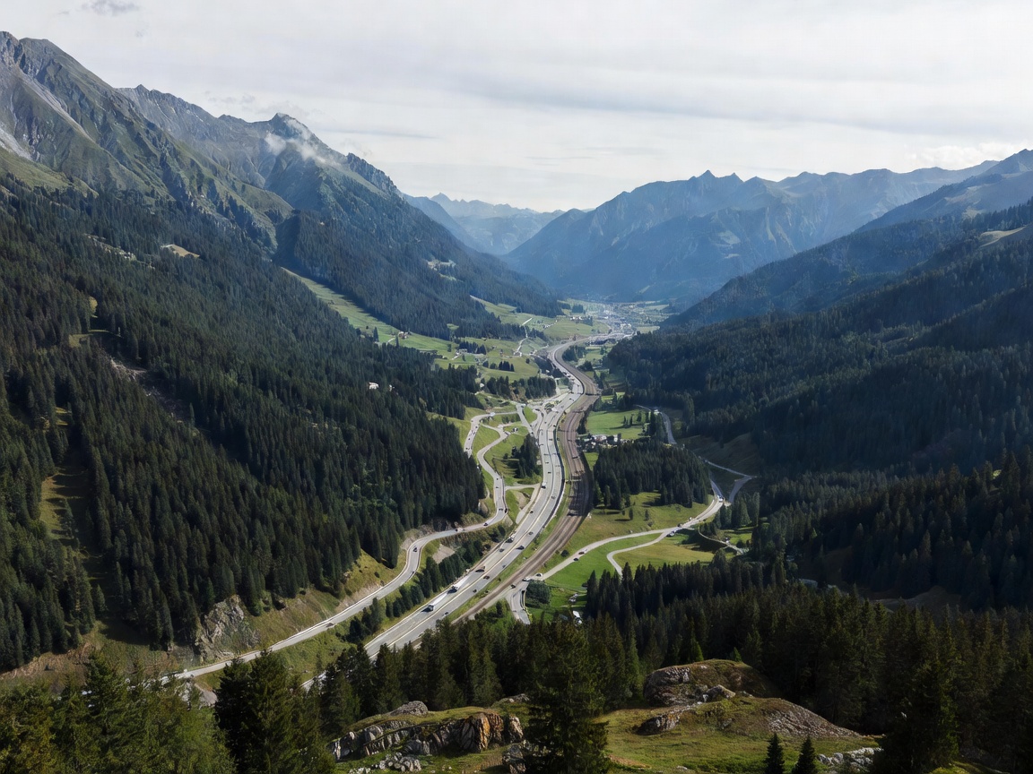
Brenner: continuity through change
Roman movement through this part of the Alps drew on the practical geography of valleys and relatively manageable gradients. Later, the Brenner became a major route between German-speaking lands and northern Italy. Merchants, rulers and their entourages moved through a landscape where tolls and jurisdiction could be as consequential as snow.
Innsbruck and Bolzano help place the crossing in context. They were not merely convenient stopping points on a scenic itinerary; they belonged to economic and political networks that gave the route its purpose. Goods needed markets, animals needed fodder, and travellers needed dependable staging places. The pass connected these services across the divide.
The opening of the Brenner railway in 1867 changed the scale and regularity of movement. Later road engineering added another visible system. Today, embankments, bridges, rail lines and older settlement streets coexist. Their relationship is worth observing from legal stopping places: a modern viaduct may bypass the terrain that an earlier road had to negotiate painstakingly.
Great St Bernard: assistance at altitude
The hospice at Great St Bernard, founded in the 11th century and associated with Bernard of Menthon, points to a different kind of infrastructure. A building that offered refuge could make a dangerous journey more survivable. Hospitality here was not an ornamental addition to the road; it was part of the crossing’s practical system.
Napoleon’s army crossed the pass in 1800. Jacques-Louis David’s famous equestrian image made the event an enduring political symbol, but it should not be read as a literal travel report. Paintings, military accounts and the physical terrain answer different questions. Distinguishing them makes the place more interesting, not less dramatic.
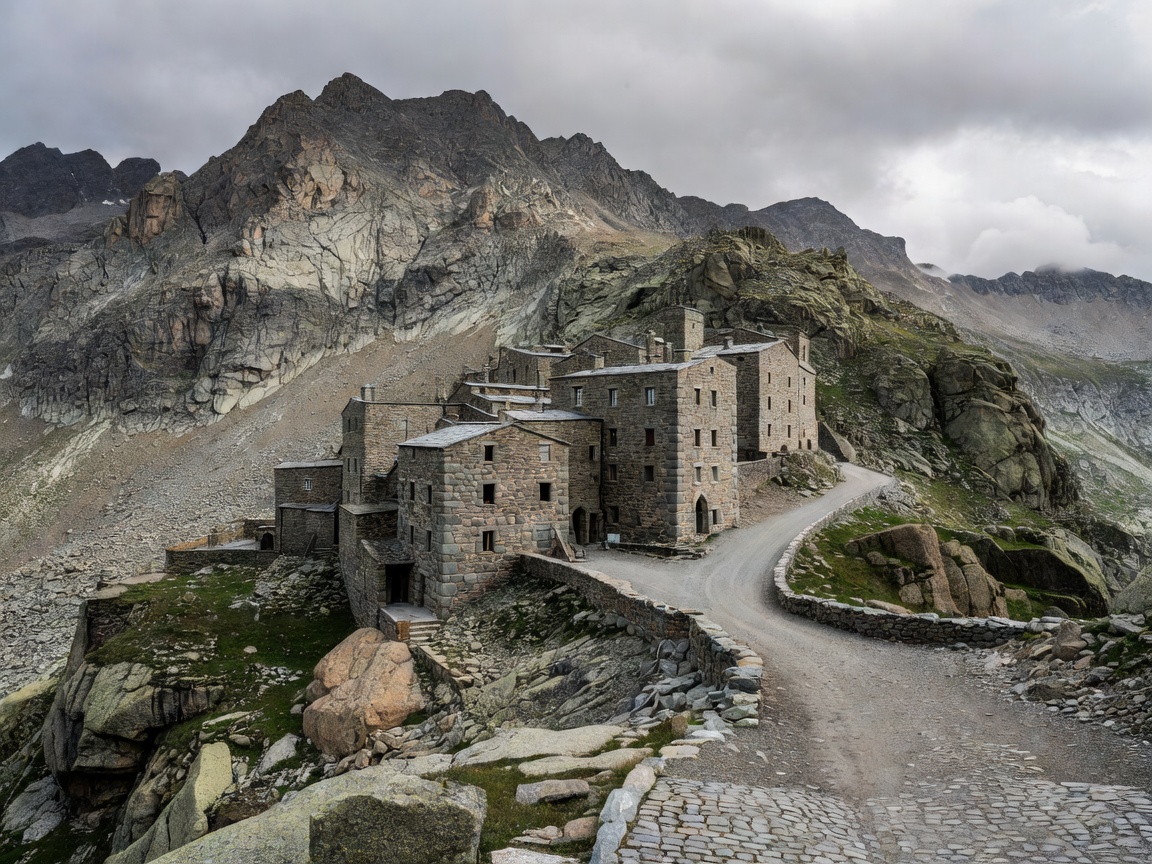
What to look for on the ground
Begin below the summit. Notice where the valley narrows, where a settlement occupies a gentler shelf and where a road changes direction to manage gradient. At the crossing, look for the relationship between shelter, water and the route itself. These observations explain why particular places became stopping points.
Do not assume every old-looking stone surface is Roman, or that a modern road precisely follows an ancient alignment. Roads were resurfaced, widened, displaced and sometimes abandoned. Museum interpretation, archaeological documentation and dated maps provide firmer evidence than appearance alone. A convincing historical journey leaves room for uncertainty.
Planning a present-day visit
The summit road at Great St Bernard is seasonal; its tunnel is a separate route with its own operating information. Brenner’s trunk transport connections likewise do not establish the condition of a nearby footpath or minor road. Check the precise facility you intend to use, including restrictions, tolls, service timetables and any works.
Allow enough time for a valley stop rather than treating the pass as a quick photograph. A museum visit or a short authorised walk can make the corridor intelligible without a demanding mountain outing. Where walking is involved, assess weather, daylight and your own capacity independently of how easy the road journey appeared.
Continue your research
- Great St Bernard hospice — the institution and its history.
- ASFINAG — Austrian motorway operating information.
- Austrian Museums Association — a starting point for regional museum research.