Field chapter 02 / Silk Road passes
Caravans Above the Clouds
At Khunjerab, the modern road is unmistakable. The older story is less like a single line on a map—and much more revealing.
Begin with a network, not a highway
The Silk Roads were overlapping networks of exchange, not one continuously marked road between two endpoints. Routes shifted with political relationships, available water, security, season and demand. Goods could pass through many hands without any merchant completing the whole journey. Mountain crossings were selective connections within that changing system.
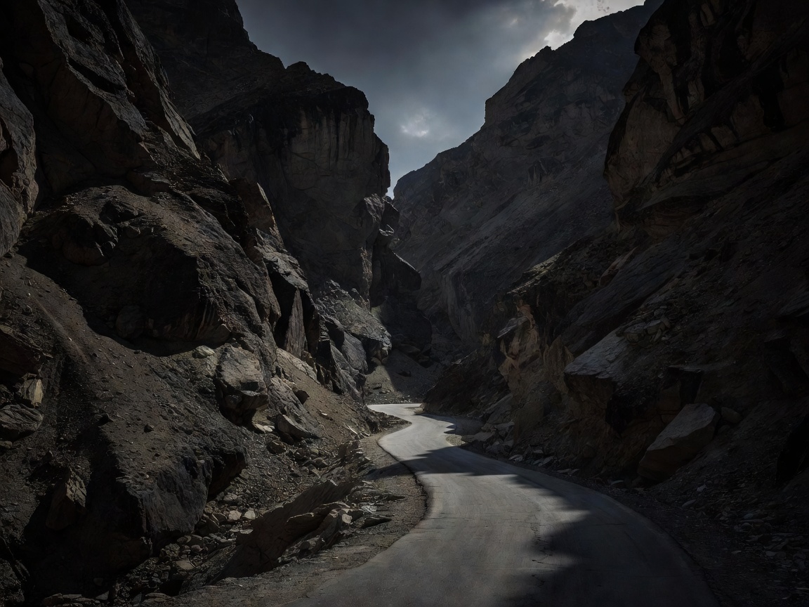
Khunjerab Pass, approximately 4,693 metres above sea level, connects Pakistan and China on the Karakoram Highway. It is an imposing place to consider cross-mountain movement, but the highway should not be presented as an unchanged ancient caravan track. Its engineering, border infrastructure and vehicle traffic belong primarily to a modern history of regional connection.
Why the valleys mattered
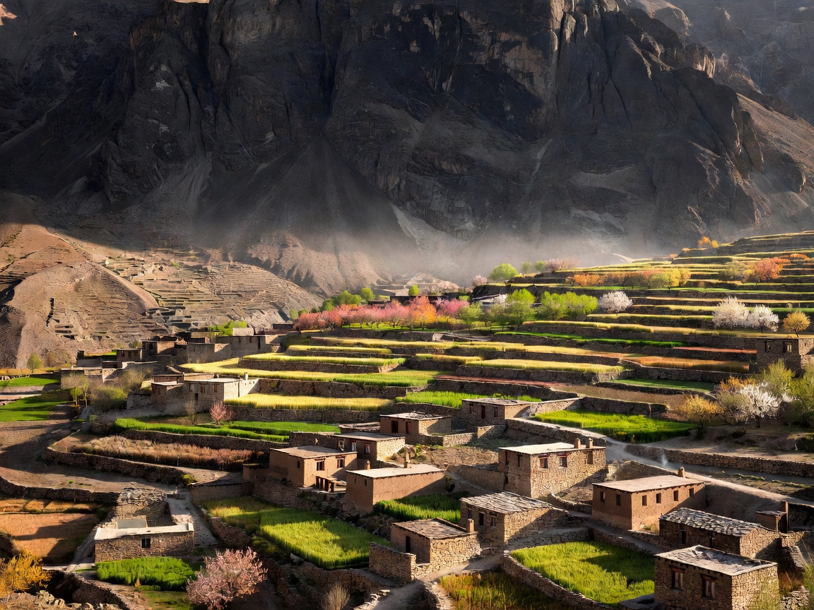
The Hunza Valley provides an essential counterweight to the summit view. Cultivated terraces, settlements and irrigation channels show the work required to sustain life along a difficult mountain corridor. These were not empty spaces waiting for travellers. Communities maintained their own economies and political relationships while participating in wider exchanges.
Farther north and east, Tashkurgan and Kashgar help place the journey within a broader geography of junctions and onward movement. Kashgar’s significance came partly from the convergence of routes around the Tarim Basin and toward Central Asia. A pass mattered because it joined such places, not because altitude itself generated trade.
Older movement across the region used multiple crossings, including the Kilik and Mintaka passes. Their historical importance is a reason to study them, not an invitation to attempt them. Access, security rules, conservation requirements and border restrictions can differ sharply from the arrangements on the highway. A historical map is not a contemporary permission document.
Reading exchange in surviving evidence
Rock carvings and inscriptions in the wider Upper Indus region record a long history of movement, belief and encounter. Their interpretation requires context: a figure, script or name may tell scholars about a particular traveller or cultural connection, but it does not automatically prove the route of every caravan.
At a documented site, begin with the official interpretation and avoid touching carved surfaces. Side lighting can make marks visible without physical contact. Never chalk, wet or trace an inscription to improve a photograph. The surface itself is evidence, and seemingly minor interventions can damage it or distort later study.
The road changes what you notice
A vehicle journey compresses distances that earlier travellers experienced as days of effort. Bridges bypass river problems; cuttings remove obstacles; tunnels hide slopes. Look for these interventions rather than imagining that the view through a windscreen reproduces a caravan’s experience.
Also notice what the road cannot remove. Steep ground, river erosion and unstable slopes still shape maintenance and settlement. These observations illuminate the geography, but they do not provide a reliable assessment of immediate hazard. A dramatic cliff is not evidence of a closure; an apparently quiet road is not evidence of safety.
Plan around rules, not assumptions
A visit to the Pakistani approach does not necessarily include an international border crossing. Immigration eligibility, visas, authorised transport, customs arrangements and access to border areas are separate questions. Check with the relevant authorities and a qualified local operator. Do not rely on a past visitor’s account as proof that your passport or vehicle will be accepted.
At this elevation, even a brief stop can place strain on an unacclimatised visitor. Build a sensible ascent plan and seek professional medical advice where appropriate. Headache, nausea, unusual fatigue or worsening symptoms require attention; continuing higher is not a cure. Access to medical support may be limited and evacuation difficult.
For a historically useful journey, spend more time in valley settlements and interpretation spaces than at the border monument. Ask permission before photographing people or private property, and follow restrictions around checkpoints and infrastructure. The strongest account of a crossing includes the communities who live with it, rather than using them as scenery between two famous names.
Research and official checks
- UNESCO Silk Roads Programme — context for networks and cultural exchange.
- UK travel advice for Pakistan — one government’s current guidance; consult your own government as well.
- UK travel advice for China — entry and regional considerations to verify before travel.