Field chapter 03 / Andean routes
Stone Paths of the Andes
Qhapaq Ñan was an instrument of connection and power. Its surviving paths make more sense when read alongside water, labour and living communities.
A road system, not a single trek
Qhapaq Ñan, the Andean Road System, linked an immense variety of landscapes. The Inca state expanded and integrated routes that also drew on earlier traditions of movement. Roads connected administrative centres, agricultural areas, sacred places and settlements across terrain that ranged from high plateaus to coastal deserts.
The World Heritage property inscribed in 2014 includes selected components in Argentina, Bolivia, Chile, Colombia, Ecuador and Peru. That designation does not mean the entire historical network is one continuous visitor trail. Some sections are archaeological sites, some remain in local use, and others are fragile, remote or unsuitable for independent access.
Infrastructure that made movement possible
A mountain path alone could not sustain imperial communication. Tambos provided stopping places and logistical support, although their form and function varied. Storage facilities helped organise supplies. Chasqui relay runners carried messages through a system of staged movement rather than a single person travelling every mile.
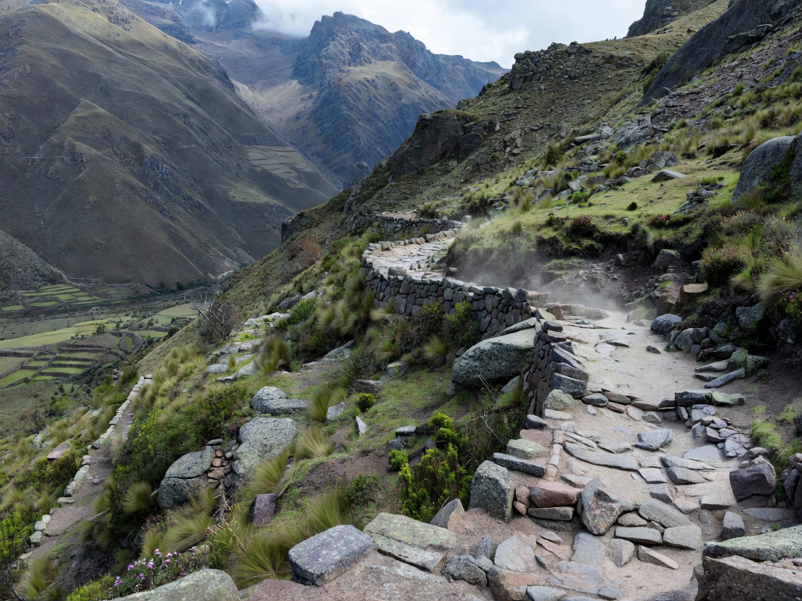
Road engineering was equally varied. On some slopes, steps provided a direct ascent; elsewhere, retaining walls supported a traversing path. Drainage protected the surface from water, one of the most persistent threats to any mountain route. A modest channel at the path’s edge can therefore be as revealing as a finely built staircase.
Cusco helps explain the political geography of this system. It was an imperial centre connected to distant regions through routes that made administration and mobilisation possible. But describing the network only from the centre risks obscuring local histories, earlier roads and the labour of communities who built and maintained the infrastructure.
Read power as well as achievement
The ingenuity of Andean road construction deserves attention without turning the past into an uncomplicated celebration. Roads enabled authority, resource movement and obligations as well as communication. A useful guide asks who used a route, who maintained it and who benefited from the movement it made possible.
Huánuco Pampa, a major Inca administrative centre in Peru, offers a way to think beyond the narrow walking path. Its relationship to routes, open spaces and storage helps illustrate the larger organisational system. Studying a well-interpreted centre can explain more about a road network than collecting several isolated summit crossings.
Living knowledge is part of the route
The Q’eswachaka bridge in Peru is a useful reminder that heritage can depend on renewal rather than untouched material. Its community-based rebuilding tradition demonstrates knowledge carried through practice. It should not be reduced to an adventure obstacle or a picturesque survival from a vanished world.
Ask before photographing work, ceremonies or identifiable people. Respect local decisions about where visitors may stand or walk. A path that appears on a travel map may pass through farmland, community space or a place with ceremonial importance. Public visibility is not the same as unrestricted permission.
Choose the kind of encounter you want
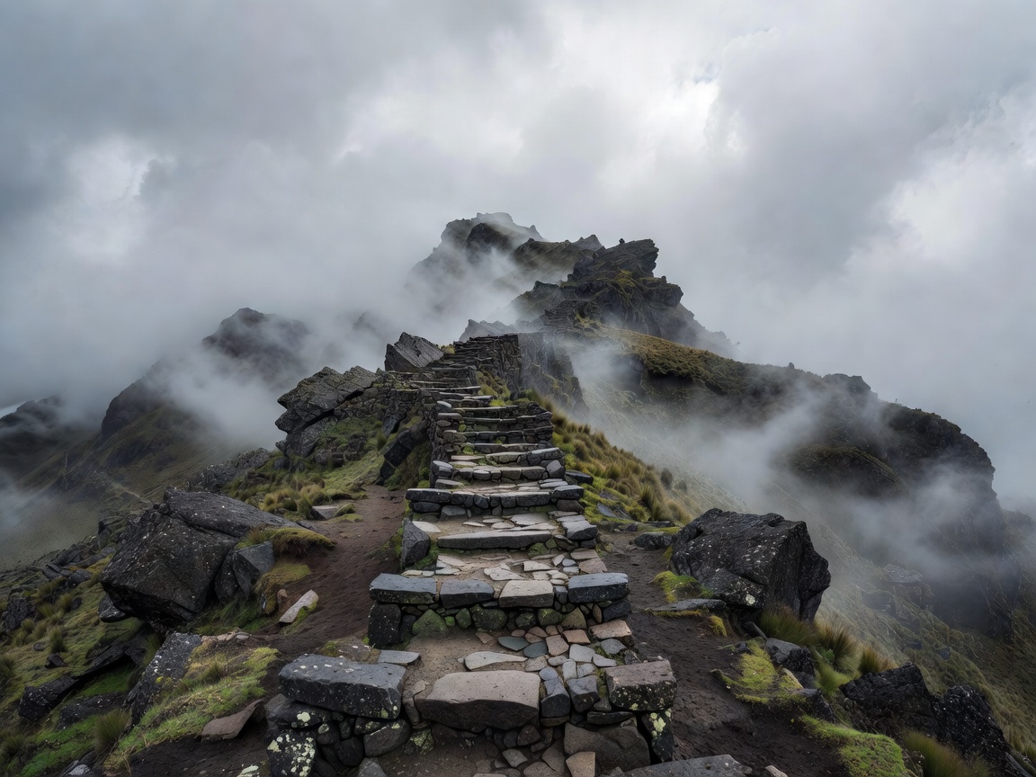
The famous Inca Trail to Machu Picchu is one managed visitor route within a much larger historical landscape. Its permits, operator requirements and restrictions do not describe every Qhapaq Ñan component. Conversely, a quiet section elsewhere is not necessarily open simply because it lacks a ticket office.
Begin with the relevant heritage authority, protected-area administration or community organisation. Establish whether a guide is required, whether the approach crosses private or communal land, and whether conservation work affects access. Prefer a shorter, properly interpreted visit over an ambitious route assembled from uncertain online fragments.
Prepare for the landscape, not just the distance
High elevation, uneven surfaces and rapid weather changes can make a modest distance demanding. Allow time to acclimatise and avoid making your first high-altitude day your hardest walking day. Water availability, shelter and communications should be established in advance rather than assumed from the presence of villages on a map.
Leave stones, pottery and other material where you find them. Do not widen the path to pass another group or step onto fragile walls for a photograph. Using local guides and services can deepen the interpretation while supporting people who understand the route as part of their home landscape. The aim is not to finish a historical network; it is to understand a carefully chosen part of it.
Further reading
- UNESCO: Qhapaq Ñan, Andean Road System — inscription, component context and documentation.
- UNESCO: annual renewal of the Q’eswachaka bridge — living knowledge and community practice.
- Peru’s Ministry of Culture — heritage administration and official information.